National Authority for Remote Sensing & Space Sciences
National Authority for Remote Sensing and Space Sciences (NARSS) is one of the valuable governmental research institutes under the umbrella of the Ministry of Higher Education and Scientific Research; which is mandated to promote research, development, and innovative studies that serve and support the government in all domains of sustainable development. NARSS is playing critical role on regional and global arena in space science and technology and remote sensing application to serve the community. This is, indeed, completely aligned with Egypt’s vision 2030 and Global SDGs and in accordance to the national strategy of higher education, scientific research and innovation.

Latest Events & News
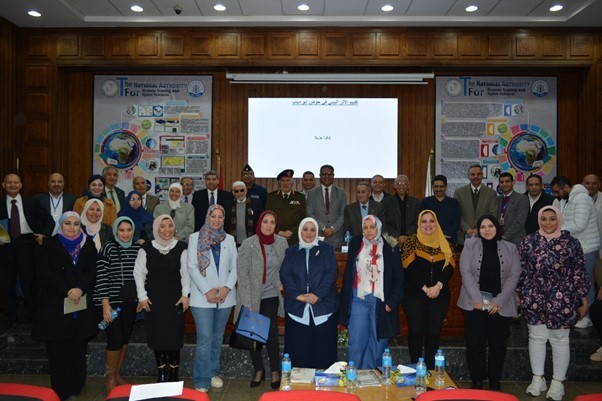
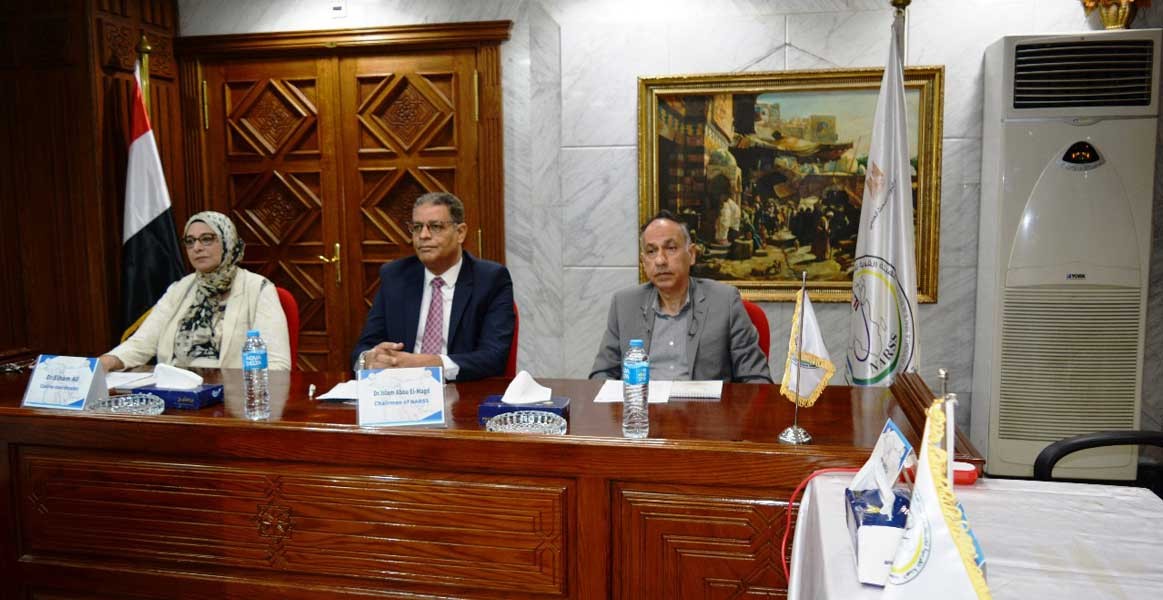
National Authority for Remote Sensing and Space Sciences is organizing a scientific symposium on the exploration and mixing of mineral wealth and fossilized raw materials.
5 months ago
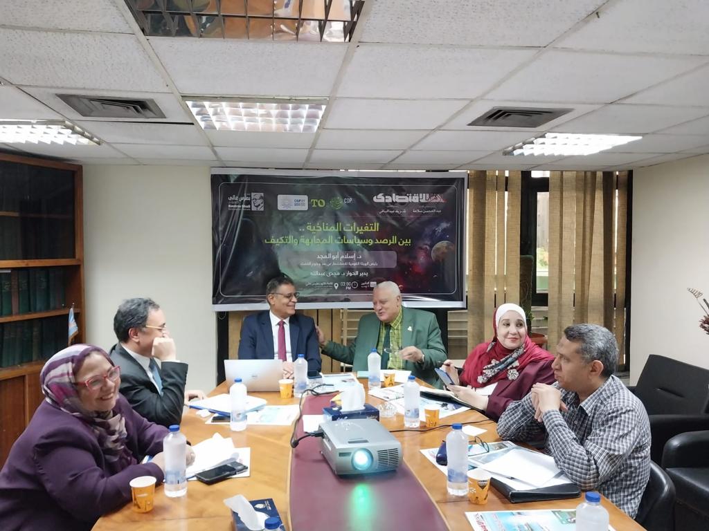
Discussing the benefit of smart irrigation systems at Sensor Authority in agricultural development
5 months ago

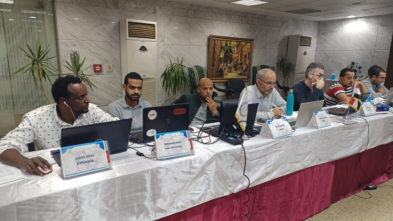
Remote Sensing Authority participates in World Environment Day
5 months ago
Discussing graduation projects for students of the Professional Diploma in Remote Sensing in its fourth session
5 months ago
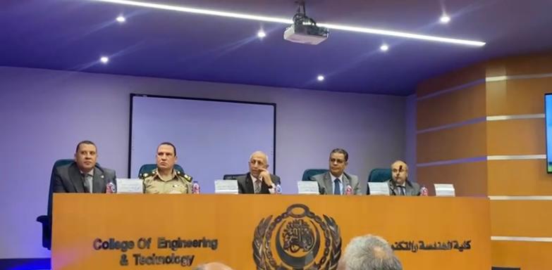
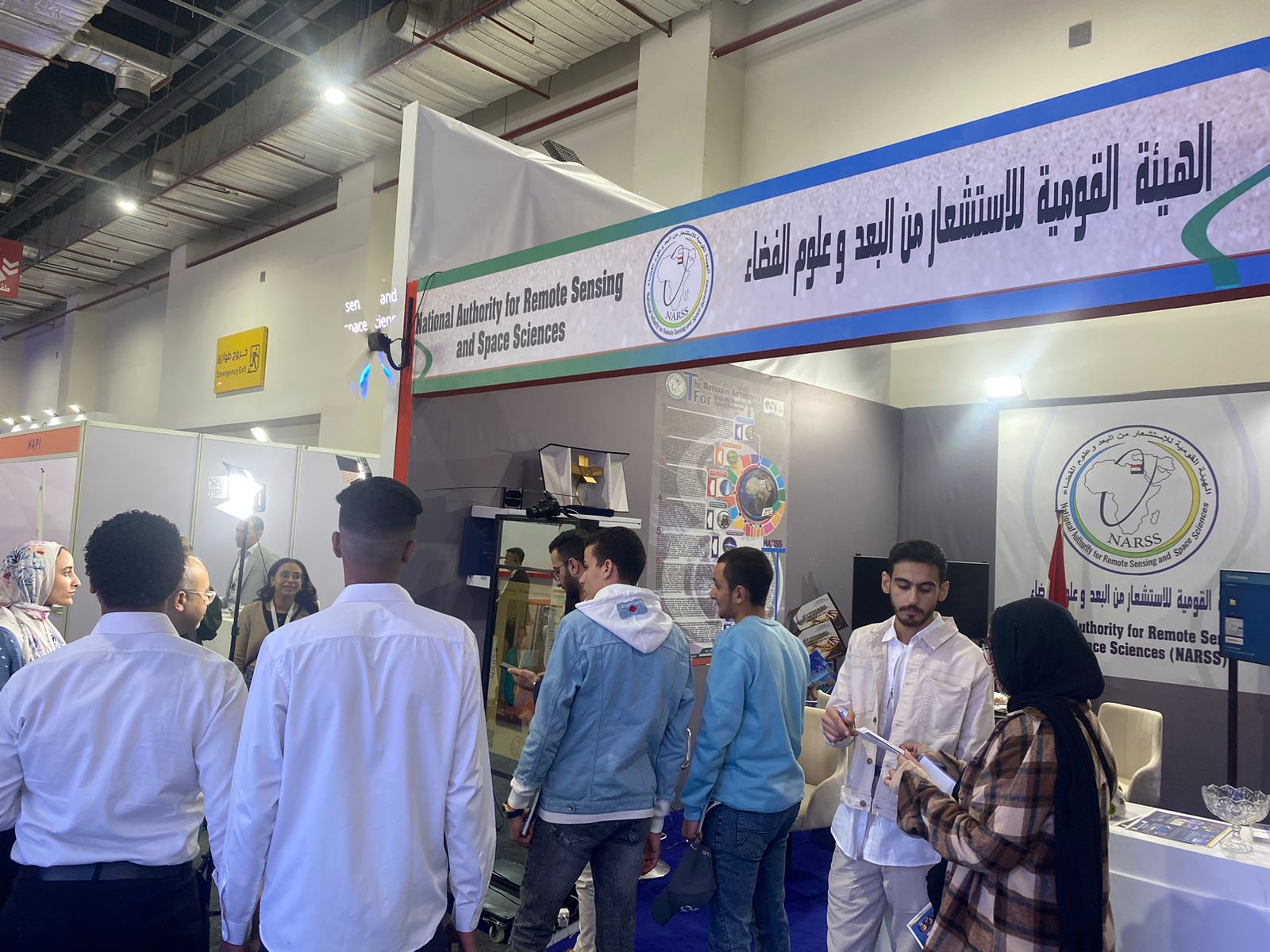
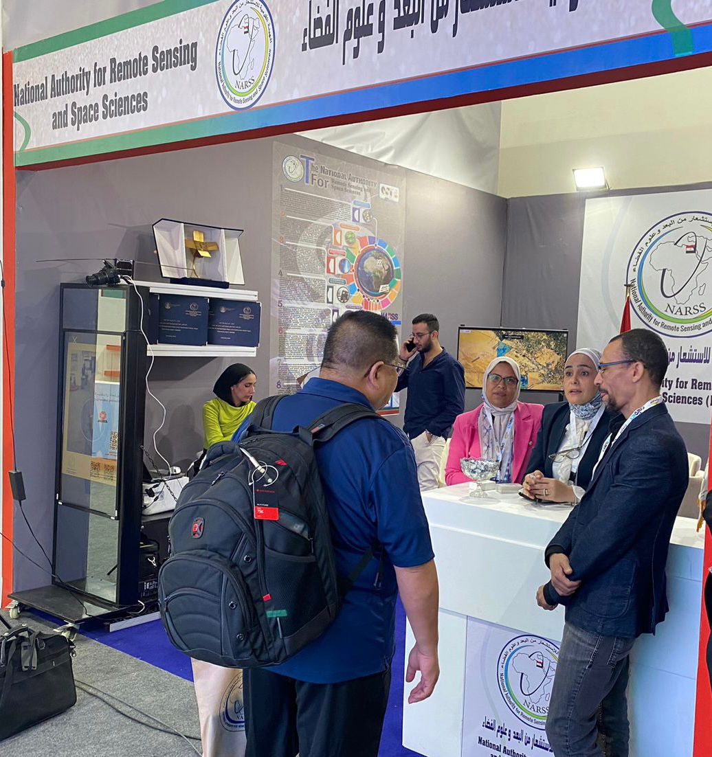
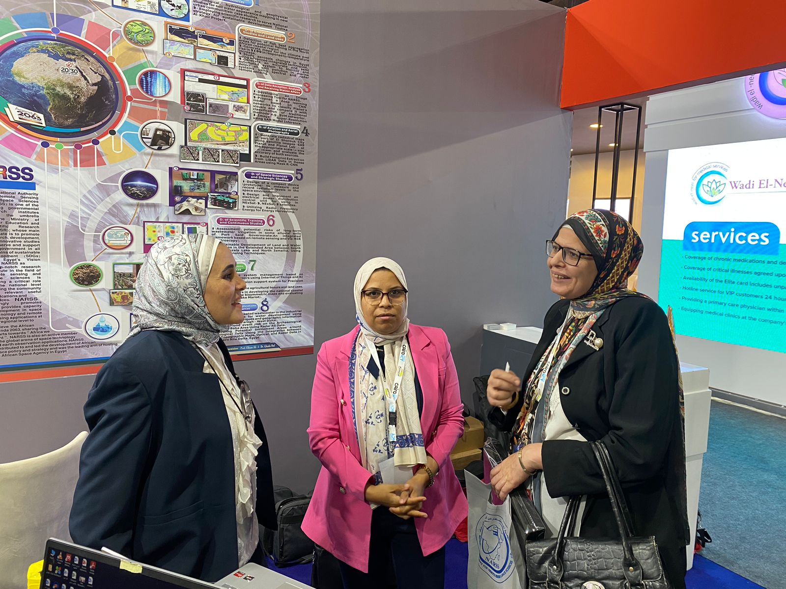
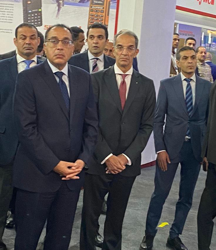
Under the patronage of the President of the Republic and in the presence and honor of the Prime Minister, the National Authority for Remote Sensing and Space Sciences participates in the Cairo ICT23 exhibition
5 months ago
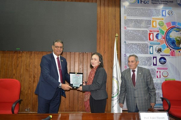
National Authority on Remote Sensing and Space Science is considering joint cooperation with UNESCO to achieve the Sustainable Development Goals
5 months ago
NARSS organizes the Seventh International Symposium to Promote Egyptian-Japanese Cooperation
3 months ago
About NARSS
National Authority for Remote Sensing and Space Sciences (NARSS) is a governmental research institutes under the umbrella of the Ministry of Higher Education and Scientific Research; mandated to promote research, development, and innovative studies that serve and support the government in all domains of sustainable development. NARSS is playing critical role on regional.

Egypt, 23 Joseph Tito Street, El-Nozha El-Gedida (P.O. Box : 1564 Alf Maskan).
Navigate me to the Map

NARSS Gallery

NARSS Divisions


Our Projects
List All ProjectsGeological Mapping at Scale 100,000:1 for the North and Center Eastern Desert of Egypt Using Remote Sensing Data.(Hurghada and Gabal Abu DukhanSheets)
Geological Mapping at Scale 100,000:1 for the North and Center Eastern Desert of Egypt Using Remote Sensing Data.(Hurghada and Gabal Abu DukhanSheets)
An integrated solar-powered system for remote sensing applications
An integrated solar-powered system for remote sensing applications
Developing Algorithms of Spacecraft Attitude and Orbit Control System Based on Artificial Intelligence
Developing Algorithms of Spacecraft Attitude and Orbit Control System Based on Artificial Intelligence
Courses categories


NARSS
National Authority for Remote Sensing & Space Sciences
NARSS is the pioneering Egyptian institution in the field of satellite remote sensing. NARSS is an outgrowth of a Remote Sensing Center, established in 1971 as an American-Egyptian joint project that was affiliated to the Egyptian Academy of Scientific Research and Technology


