
Introduction to Remote Sensing Using ERDAS Imagine Software
● Prerequisites:
○ Basic knowledge of computer science.
○ Some familiarity with GIS software.
● Required Software:
○ ERDAS Imagine 9.3 or higher.
● Textbooks:
○ Remote Sensing with ERDAS Imagine 9.3, by Paul M. Mather.
○ ERDAS Imagine User's Guide, by Harris Geospatial Solutions.
● Course Outline:
○ Module 1: Introduction to remote sensing
○ Module 2: Image processing
○ Module 3: Classification
○ Module 4: Change detection
○ Module 5: Case studies
● Course Delivery Method:
○ Lectures: Interactive lectures delivered by experienced remote sensing professionals and experts through presentations, videos, and demonstrations.
○ Homework Assignments: There will be three homework assignments throughout the course. The homework assignments will be graded on correctness and completeness.
○ Project: The project will involve applying machine learning to a remote sensing problem. Students will work in groups of two or three to complete the project. The project will be graded on creativity, originality, and technical quality.
○ Q&A Sessions: Regular question and answer sessions to clarify doubts and address participants' queries related to the course content and practical exercises.
● Course Duration:
4 weeks (can be adjusted as per requirements)
● Note:
The course content and duration can be customized according to the specific requirements and level of expertise of the target audience.
Latest Events


Latest News


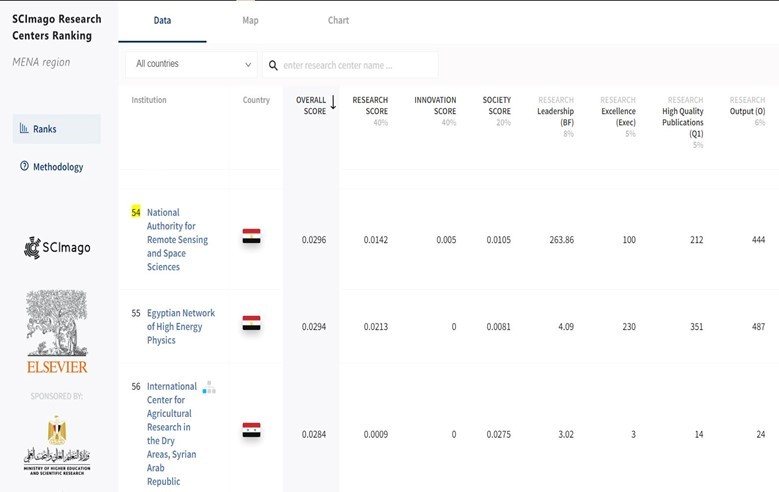

NARSS
National Authority for Remote Sensing & Space Sciences
NARSS is the pioneering Egyptian institution in the field of satellite remote sensing. NARSS is an outgrowth of a Remote Sensing Center, established in 1971 as an American-Egyptian joint project that was affiliated to the Egyptian Academy of Scientific Research and Technology


